- From
-
Published on
23.09.19
- Impact Area
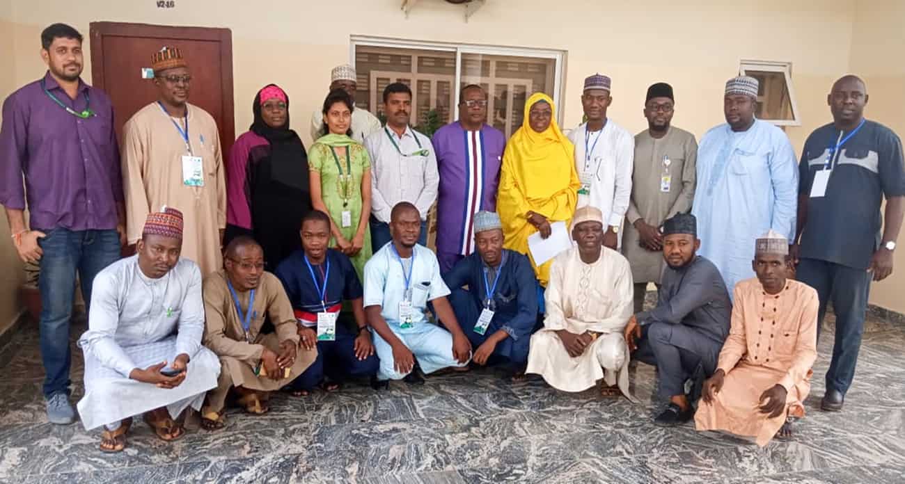
A recent capacity-building exercise conducted in Nigeria trained a multidisciplinary team of researchers in the use of remote sensing in their respective areas of work. Remote sensing technology – a rapid and efficient approach to estimate croplands, cropping intensity, land use and land cover changes – has several applications in agricultural research.
The sessions involved introduction of the concepts of remote sensing, Geographical Information System (GIS) and Google Earth Engine (GEE), along with several applications for which these modern tools are used for agriculture at ICRISAT. The participants received hands-on training on using these technologies, and performed a ground data collection exercise. The use of remote sensing imagery for land use/land cover mapping and monitoring using time series data was highlighted.
Related news
-

Mapping for Resilience: How Spatial Data is Transforming Karamoja Cluster
02.07.25-
Climate adaptation & mitigation
Pastoral communities in the Karamoja Cluster (a region spanning Kenya, Uganda, South Sudan, and Ethi…
Read more -
-

Building Resilience and Regeneration: The Central Highlands Ecoregion Foodscape (CHEF)
02.07.25-
Climate adaptation & mitigation
At the CGIAR Sustainable Farming Program (SFP), we believe that collaboration is essential for trans…
Read more -
-

Planting with Precision: How Weather and Climate Information is Changing Bean Farming in Rwanda
01.07.25-
Climate adaptation & mitigation
Imagine weather information as a GPS for farmers. Without it, the journey becomes uncertain, filled…
Read more -