- From
-
Published on
02.04.19
- Impact Area
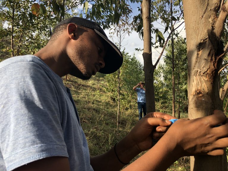

The Land Degradation Surveillance Framework methodology, developed by World Agroforestry, is one of the largest land-health databases in the world, providing a field protocol for measuring indicators of the ‘health’ of an ecosystem, including vegetation cover, structure and floristic composition, historic land use, land degradation, soil characteristics, including soil organic carbon stocks for assessing mitigation potential and infiltration capacity, as well as providing a monitoring framework to detect changes over time.
The post Using the Land Degradation Surveillance Framework to assess land health in Rwanda appeared first on Agroforestry World.
Related news
-

ICRISAT to Deliver World-Class Services as CGIAR’s Breeding Resources South Asia Hub
07.07.25-
Biodiversity
-
Food security
Strategic collaboration to scale innovation and deliver harmonized, high-quality support across CGIA…
Read more -
-

Multifunctional Landscapes that reconcile food production, with ecosystem restoration and biodiversity conservation
06.07.25-
Biodiversity
-
Environmental health & biodiversity
The CGIAR Multifunctional Landscapes Science Program (MFL SP) is driven by a bold vision of…
Read more -
-

Harnessing digital tools in securing soil health for Africa’s food future
27.06.25-
Climate adaptation & mitigation
-
Environmental health
-
Nutrition, health & food security
-
Poverty reduction, livelihoods & jobs
Nairobi, 27 June 2025 (IITA) - As it marks its first anniversary, the Regional Hub…
Read more -