- From
-
Published on
20.12.21
- Impact Area
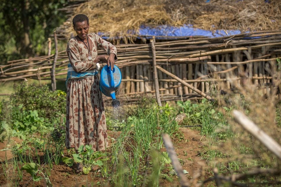
Remote sensing data enables IWMI researchers to identify irrigated areas at a resolution of 30 meters, providing valuable insights for water policy and agricultural planning.
The post Researchers map Ethiopia’s irrigated areas at a previously unavailable resolution first appeared on International Water Management Institute (IWMI).
Related news
-

ICRISAT to Deliver World-Class Services as CGIAR’s Breeding Resources South Asia Hub
07.07.25-
Biodiversity
-
Food security
Strategic collaboration to scale innovation and deliver harmonized, high-quality support across CGIA…
Read more -
-

Shaping policy changes for a sustainable cropping system in Uttar Pradesh, India
03.07.25-
Food security
by Dr. Proloy Deb and Dr. Swatantra Dubey The Central Plain region of Uttar Pradesh…
Read more -
-

Mapping for Resilience: How Spatial Data is Transforming Karamoja Cluster
02.07.25-
Climate adaptation & mitigation
Pastoral communities in the Karamoja Cluster (a region spanning Kenya, Uganda, South Sudan, and Ethi…
Read more -